March 16, 2026
Digital Mapping: The Future of Tree Classification in Ireland

Ireland’s landscape is undergoing a quiet but profound digital revolution. For centuries, the management of our woodlands and urban canopies relied on manual tree surveys, paper maps, and local lore. However, as we face the challenges of climate change and biodiversity loss, the need for precision has never been greater. Digital mapping is now at the forefront of this shift, redefining the standards of tree management in Ireland.
The Evolution of Tree Classification
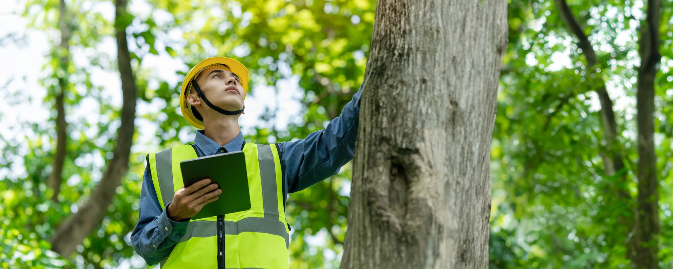
Traditionally, identifying and cataloguing tree species was a labour-intensive process. Arborists and Foresters would spend weeks on the ground, physically tagging specimens and recording data in their notebooks. Today, the integration of Geographic Information Systems (GIS) and remote sensing technology has streamlined tree classification in Ireland.
By using high-resolution satellite imagery and LiDAR (Light Detection and Ranging), experts can now map vast areas of forestry with incredible accuracy. This technology allows for the identification of canopy height, density, and even species health from a distance. For local authorities and private landowners, this means that every single tree can be accounted for, monitored, and protected within a centralised digital database.
Precision in Irish Forestry Services
The adoption of these technologies is not just about gathering data; it is about making informed decisions. Professional Irish Forestry Services are increasingly utilising digital tools to manage timber production, carbon sequestration projects, and habitat restoration.
Digital mapping provides a “digital twin” of a woodland. This model allows foresters to simulate various scenarios, such as the impact of thinning a forest or the potential spread of a particular tree disease. By predicting these outcomes digitally, managers can implement more sustainable practices that ensure the long-term health of Ireland’s green infrastructure.
Spotlighting Innovation: GEOTREE
One of the leading teams in technological innovation is our team, GEOTREE. By providing mapping and surveying solutions, we are helping them to bridge the gap between traditional arboriculture and modern data science. Our platform allows users to visualise complex environmental data, making it easier for stakeholders to manage tree inventories and comply with environmental regulations.
Through the use of mobile mapping and cloud-based storage, we enable real-time updates from the field. This ensures that the data used for tree management in Ireland is always current, accurate, and accessible to those who need it the most.
Why Digital Mapping Matters
You might wonder why such high-level technology is necessary for something as natural as a tree. The answer lies in the complexity of our modern environment. Urban expansion, shifting weather patterns, and the introduction of invasive species require a more proactive approach than ever before.
- Risk Management
Digital maps can identify trees that are nearing the end of their life cycle or those positioned dangerously close to power lines and roads.
- Biodiversity Tracking
By accurately mapping native versus non-native species, conservationists can better plan for the restoration of Ireland’s ancient woodlands.
- Climate Reporting
As Ireland strives to meet its carbon neutrality goals, digital mapping provides verifiable data needed to calculate exactly how much carbon our forests are absorbing.
The Path Ahead
The future of tree classification in Ireland is undeniably digital. As artificial intelligence and machine learning continue to evolve, we can expect even more automated systems. Imagine a future where drones automatically patrol forests to detect the earliest signs of ash dieback or where every citizen can access an interactive map of the heritage trees in their local park.
By embracing these tools, Irish Forestry Services are ensuring that our “Emerald Isle” remains green for more generations to come. Digital mapping is not just a technical upgrade; it is a vital commitment to the stewardship of our natural heritage.
Whether you are a developer, a conservationist, or a private landowner, understanding the digital landscape is the first step towards effective woodland management. With resources like ours at GEOTREE, the future of the Irish greens looks brighter—and more precisely mapped—than ever.
More Blog Posts from GEOTREE...